Galveston Island Wine Festival proudly announces the addition of renowned Chef Bryan Caswell to its esteemed culinary team for this year’s event, set to take place over Labor Day weekend at the breathtaking resort Moody Gardens on Galveston Island.
This addition to the line-up comes as two weeks remain for an early-bird discount of up to 25 percent on tickets and hotel packages through June 30.
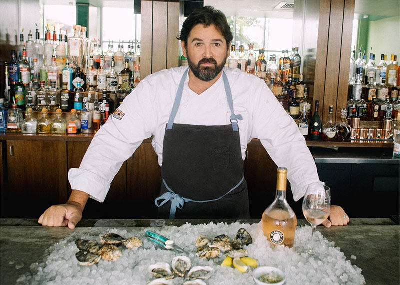
Chef Bryan Caswell, a proud Southerner hailing from Lafayette, LA, brings with him a wealth of culinary expertise and a deep-rooted passion for Gulf Coast flavors. A graduate of the prestigious Culinary Institute of America, Caswell honed his skills under the mentorship of Jean Georges Vongerichten, refining his craft in culinary capitals such as New York, Hong Kong, Barcelona, and the Bahamas.
Famed for his innovative approach to seafood, Caswell’s culinary journey has been marked by his commitment to showcasing the freshest catches and locally-sourced produce. His Houston-based restaurant, Reef, has garnered widespread acclaim since its inception in 2007, boasting a rotating menu that highlights over 87 species of Gulf Coast fish. Reef has been lauded by critics and diners alike, earning Caswell numerous culinary accolades, including recognition from Food & Wine, Bon Appétit, and the James Beard Foundation.
In addition to Reef, Caswell has expanded his culinary empire with ventures like Little Bigs and El Real Tex-Mex Café, further solidifying his status as a culinary luminary in the Houston dining scene. His partnership with the Houston Astros has also yielded successful ventures, including Jackson Street BBQ near Minute Maid Park.
Beyond the kitchen, Caswell is an avid outdoorsman, often found indulging his passion for fishing along the Gulf Coast. His love for the sea and its bounty serves as a guiding force in his culinary creations, infusing each dish with a sense of adventure and reverence for nature.
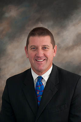
“We are thrilled to welcome Chef Bryan Caswell to the Galveston Island Wine Festival. His reputation as a visionary chef and advocate for Gulf Coast cuisine precedes him, and we are eager to see how his culinary artistry enhances this year’s event.”
John Zendt, ceo of moody gardens
Caswell joins a roster of esteemed culinary talents, including David Cordúa, Paul Miller, Chef James Lundy, Executive Chefs Chris Lopez and Bobby Ross, Executive Pastry Chef Bethany Boedicker, among others. The festival promises an array of exciting events, including the Seven-on-Seven Seafood Extravaganza, Penguins & Pinot: Grand Tasting, Regular Guy Wine Seminar, Brunch and Bubbles, a Bourbon Dinner and more offering attendees a unique opportunity to savor exquisite wines amidst the enchanting ambiance of Moody Gardens.
